
Project Overview
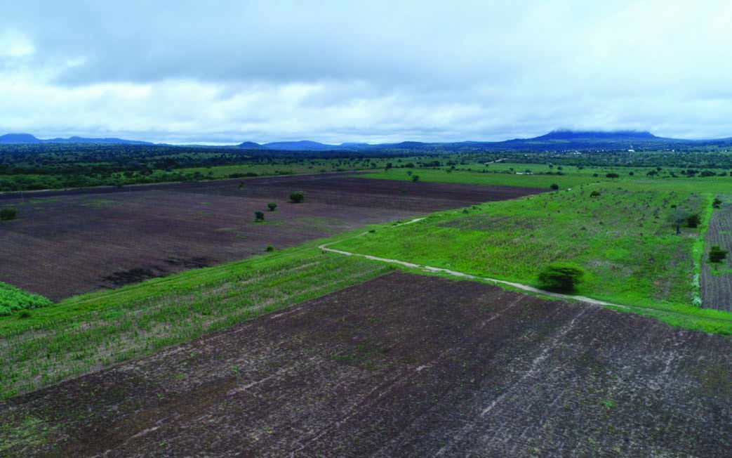
TANSHEQ used registered drones and certified pilots to conduct an aerial topographical and baseline environmental survey for the Singida Gold Mine project.
TANSHEQ’s Role
Captured aerial imagery, georeferenced and overlaid images, and prepared a georeferenced mosaic dataset to document vegetation cover and community setting before project commissioning.
Key Outcome / Value Delivered
Delivered high-resolution, geo-referenced baseline information suitable for monitoring environmental and land-use change over time.